2007–Present
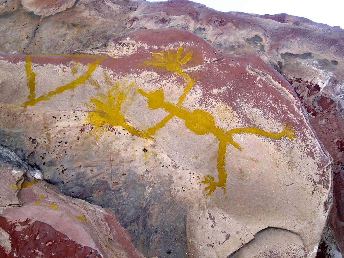
Archeologist and Rock Art Specialist, Reeda Peel, assisted by skilled volunteers, formally documented seventeen rock art sites and informally documented six additional sites in the past eight years. Formal documentation requires establishing a string grid system of one meter squares over the surface containing the rock art. The grid is connected to a permanent datum point, so that all work can be measured from that point. Scale drawings and individual photographs are then produced of each square meter of the grid. The drawings and photographs can then be pieced together for a complete detailed view of the rock art. Research and published articles result from the scientific documentation.
Bee Cave Canyon and the Graef Petroglyph Site were two long term projects that produced a prodigious amount of information (see later project descriptions). Bee Cave Canyon is a box canyon in southern Brewster County. The canyon wall is a solid rock bluff of 259 square meters in length (2 1/2 football fields), with a drop of 7 meters and then a rise of 20 meters. The project produced 185 scale drawings and matching photographs. The Graef Petroglyph Site is a rare horizontal petroglyph site at the edge of the Stockton Plateau. The site, covering approximately 3 acres, resulted in 357 meters of drawings and matching photographs.
The photographs, drawings, and information generated by these work sessions are archived at the Center for Big Bend Studies, and will be entered into a regional database to assist in scientific research of regional rock art. In addition to the documentation information, the database will identify and retrieve information gathered by earlier eastern Trans-Pecos researchers.


